
Photo library
The oldest series of photos known about Hai Phong
The images of Hai Phong in 1888 printed in the old French book are believed to be the oldest photographic materials on Vietnam's famous coastal city.
Browse ScienceInfo articles and explainers related to Hai Phong.
42 published items.
The images of Hai Phong in 1888 printed in the old French book are believed to be the oldest photographic materials on Vietnam's famous coastal city.

The People's Committee of Hai Phong City allowed the Archeology Institute to preside over and coordinate with the Hai Phong Museum and the People's Committee of Thuy Ngu…

Many phoenix trees on streets in Hanoi and Hai Phong all fell due to the impact of Wipha storm, early morning 3/8.
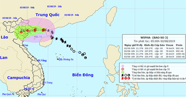
At 04 o'clock, the location of the center of the storm is about 21.3 degrees Vi Bac; 109.2 degrees Kinh Dong, about 180 km from the mainland of Quang Ninh-Hai Phong prov…
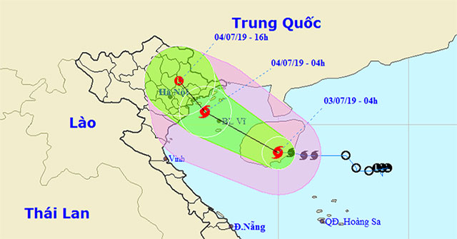
On the evening of July 2, the tropical depression operated on the East Sea and became a storm with the international name Mun.

The Hanoi - Hai Phong highway (national highway 5B) runs parallel to the old National Highway 5 (National Highway 5A) has been opened for traffic all the way today, Dece…

With a maximum speed of 120km / h, when the entire route is reached at the end of this year, this expressway will help the travel time from Hanoi to Hai Phong be reduced…

Heart-shaped leaves, big, wide, leaf tips with pointed tips and feathers on the underside ... are the differences of the carnation found in Hai Phong after more than 100…
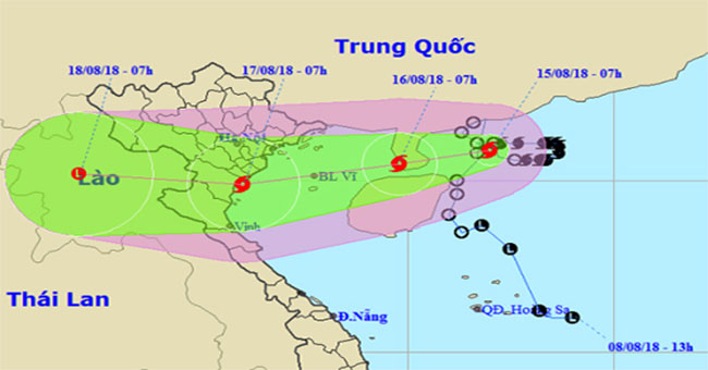
Due to changing direction from East to West and moving slowly, Bebinca 7h this morning is still in the southern waters of Guangdong Province (China), the maximum wind sp…
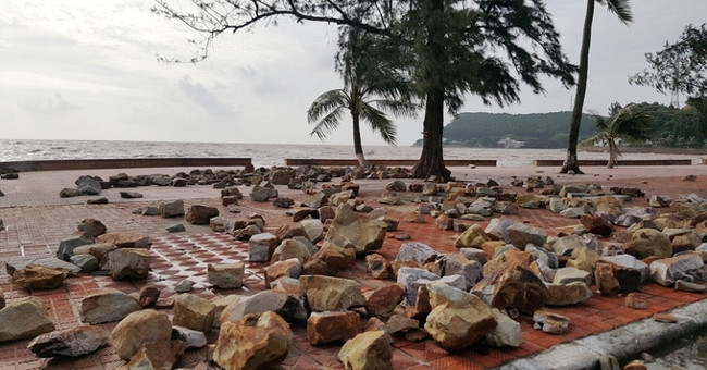
Tropical depressions with winds of level 6 and 7, level 8 shock will enter the mainland of Quang Ninh-Hai Phong provinces causing heavy rain.
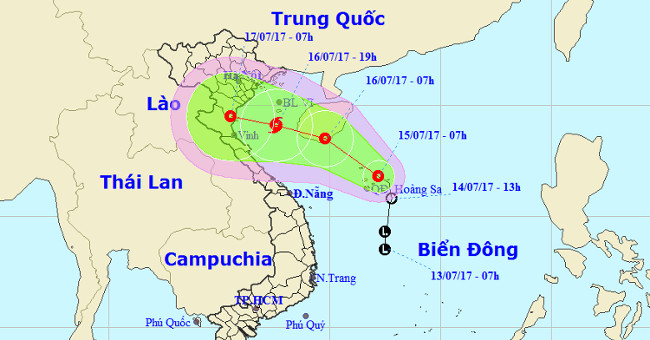
According to the Central Center for Meteorological and Hydrological Forecasting, this morning, the low pressure on the Hoang Sa archipelago waters, the highest wind leve…
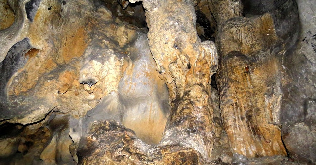
Located in Thien Trieu mountain on the banks of Kinh Thay river, in the territory of An Son commune, Thuy Nguyen district (Hai Phong) is a cave with a capacity of up to…
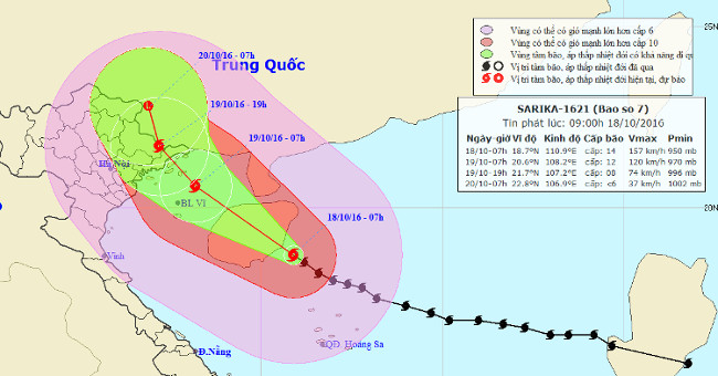
At 07:00 on October 18, the location of the center of the storm was about 18.7 degrees Vi Bac; 110.9 degrees Kinh Dong, on the southeastern coast of Hainan Island (China…
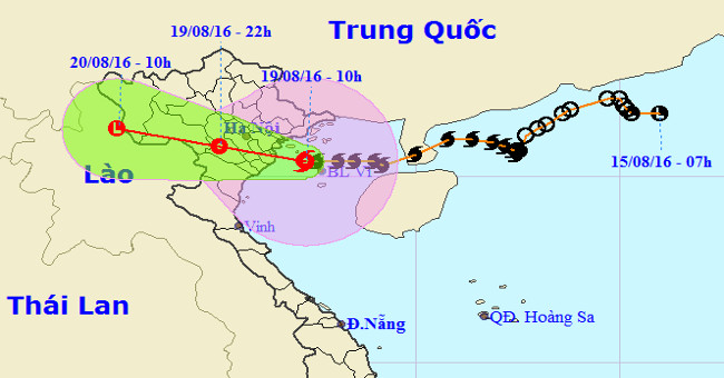
In the last 3 hours, storm No. 3 moved mainly in the West, speed of 15km / h.
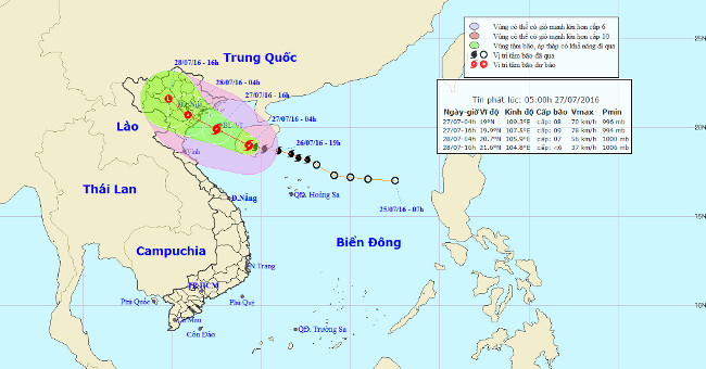
At 04:00 on July 27, the location of the storm center is about 19.0 degrees north latitude; 109.3 degrees east longitude, on the western region of Hainan Island. The str…